
Satellite Image Roundup
I’m condensing posts from my old blog into one highlight reel of a post. Below are images that I captured using various SDR setups, including using remote radios owned by other people.
via AirSpy Network - Users in Edmonton and Cleveland
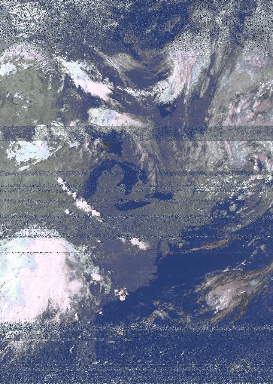 7-14-2019: East Coast of the USA
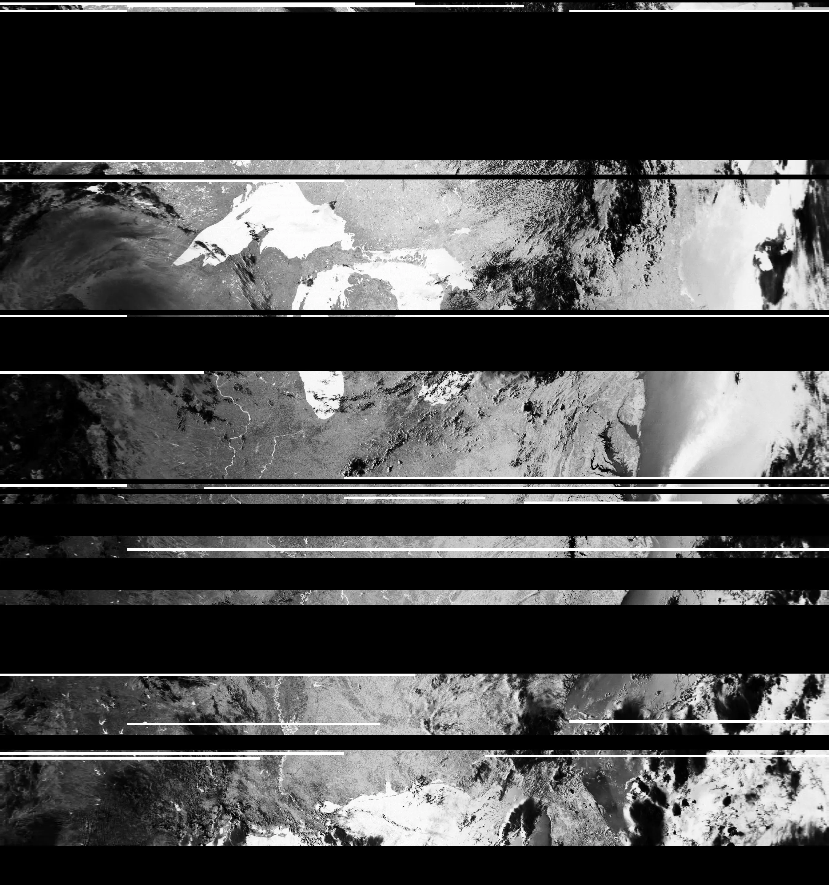
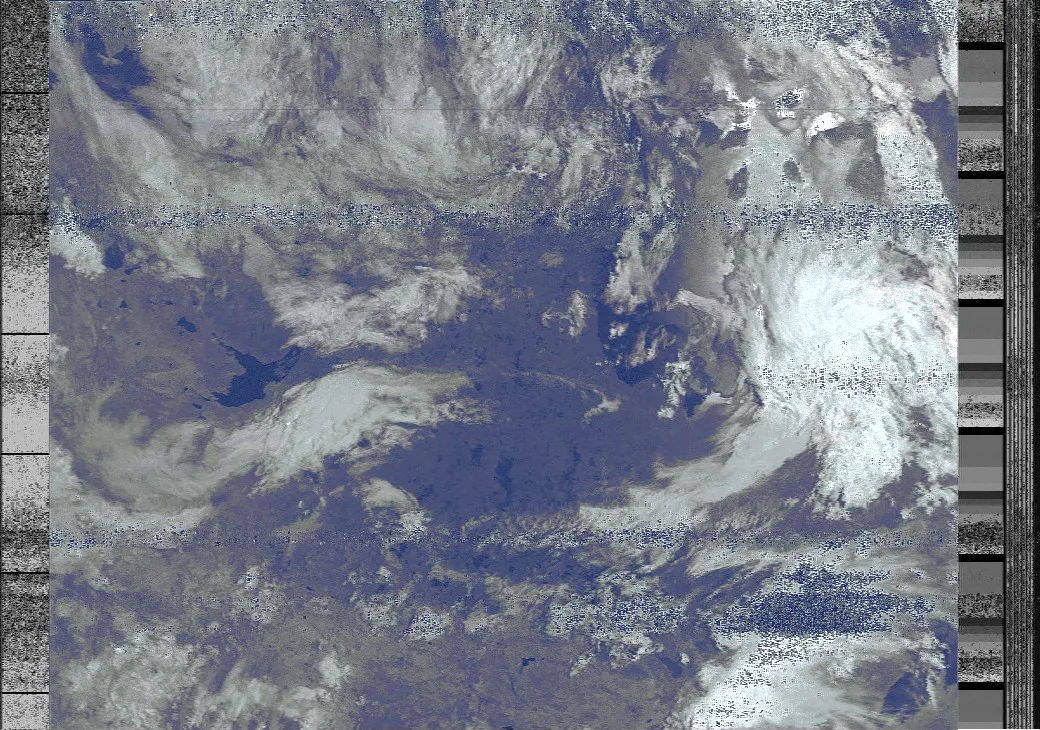 7-14-2019: Canada (Thunder Bay is on the right; is that the sun reflecting off of it?)
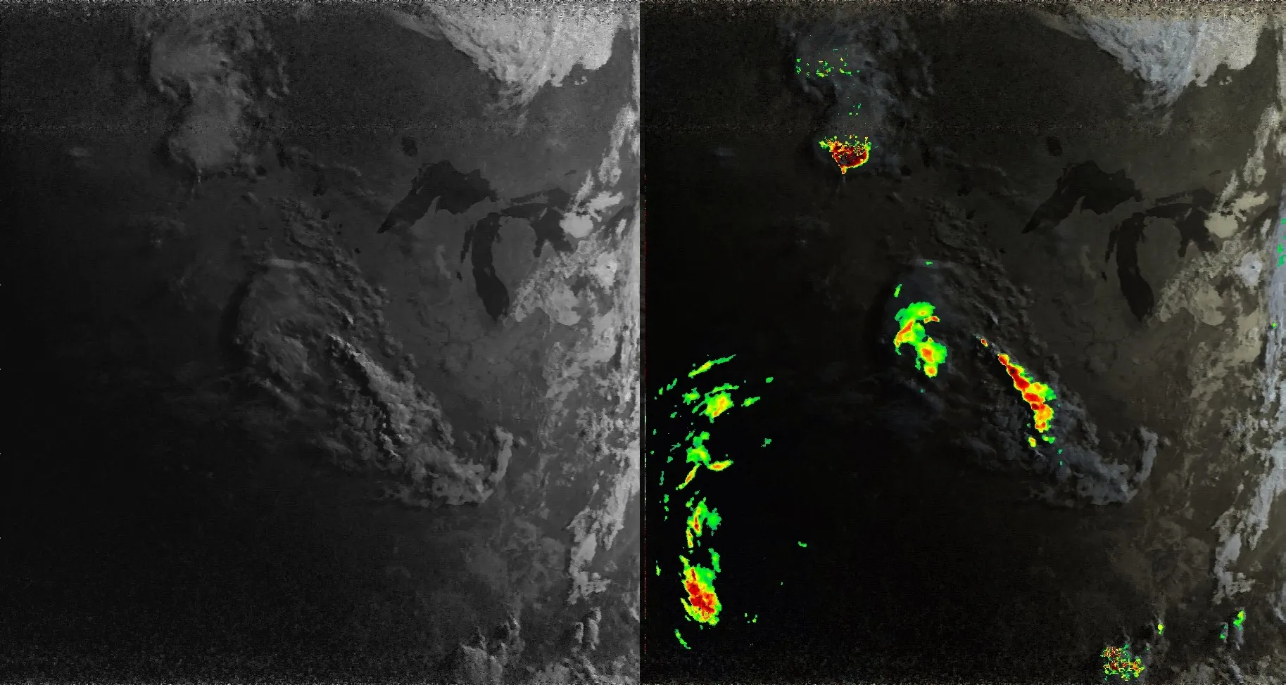
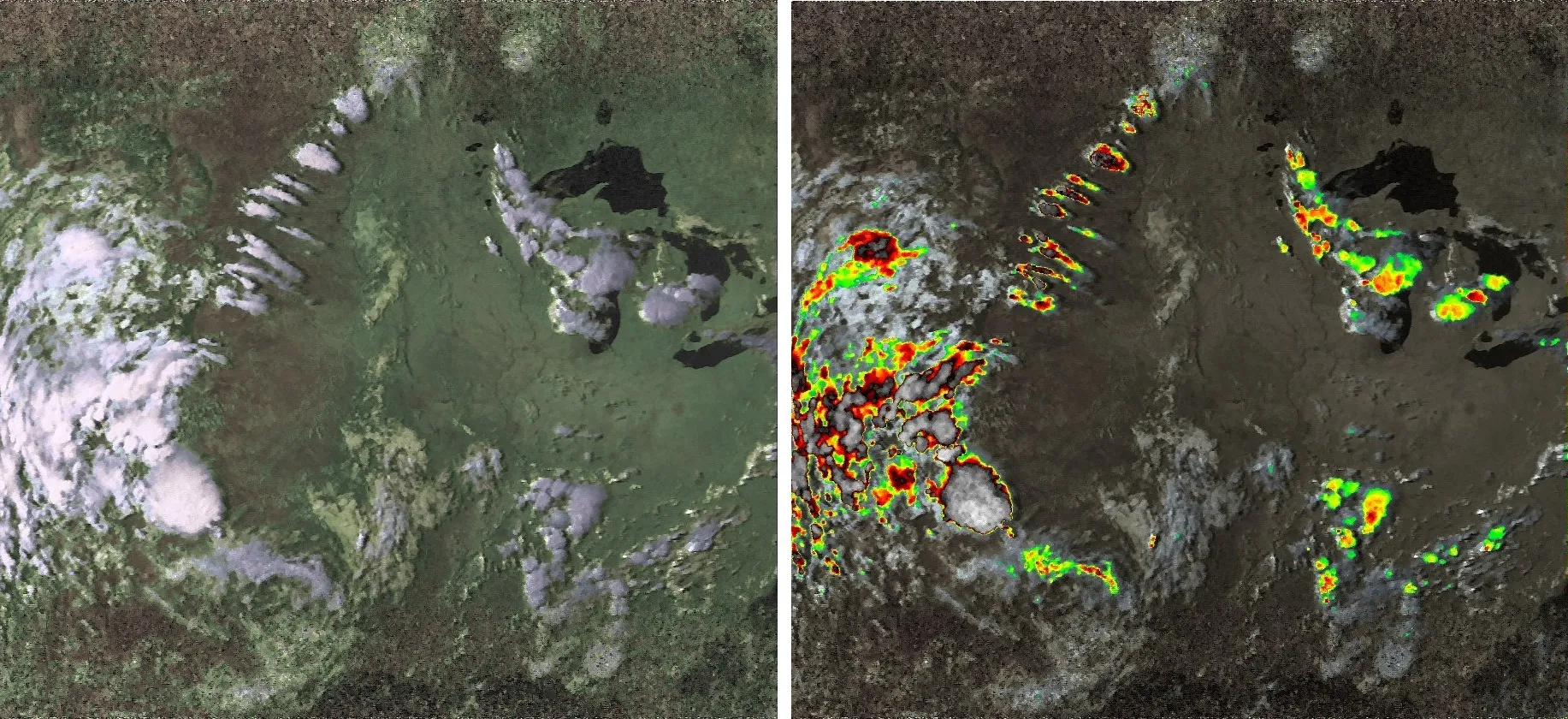
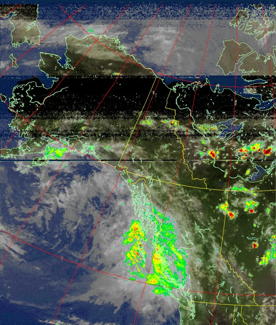 7-16-2019: Precipitation map over Alaska / Canada
 Files from Meteor satellites are very large
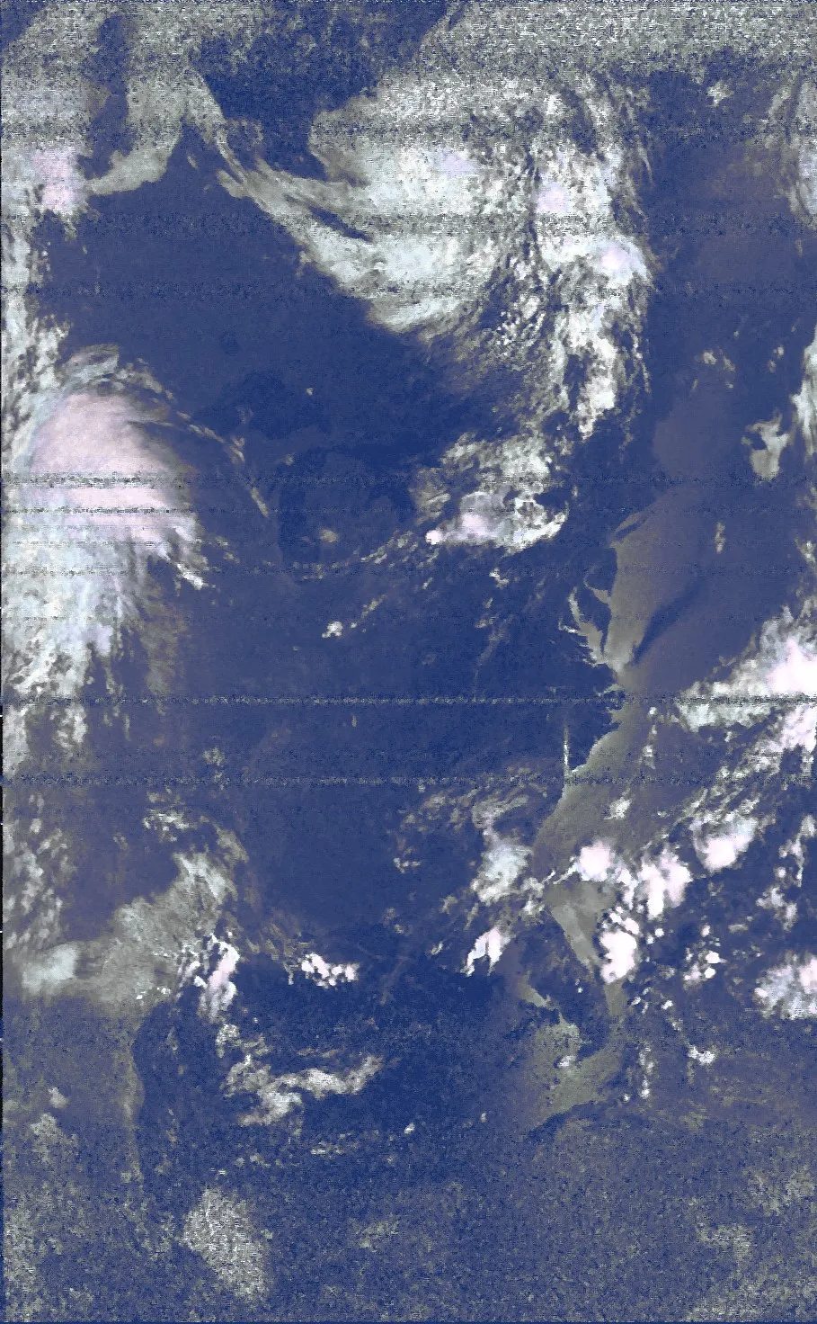
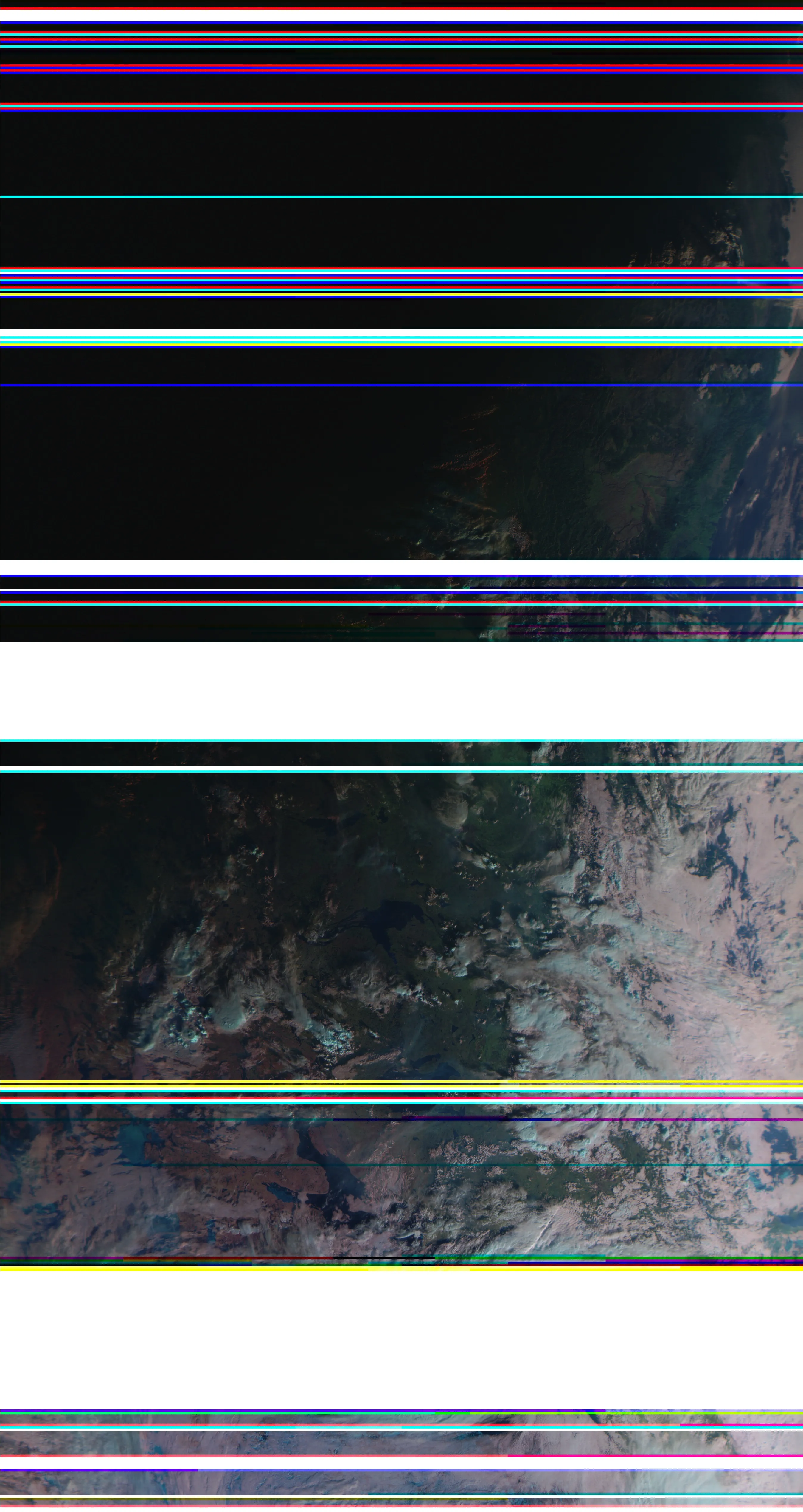 7-20-2019: This was around 10PM CDT, so in Edmonton the sun was a bit past going down… that’s why it is a bit dark. This version doesn’t use the IR sensor also. Note the dropouts. Meteor M2.
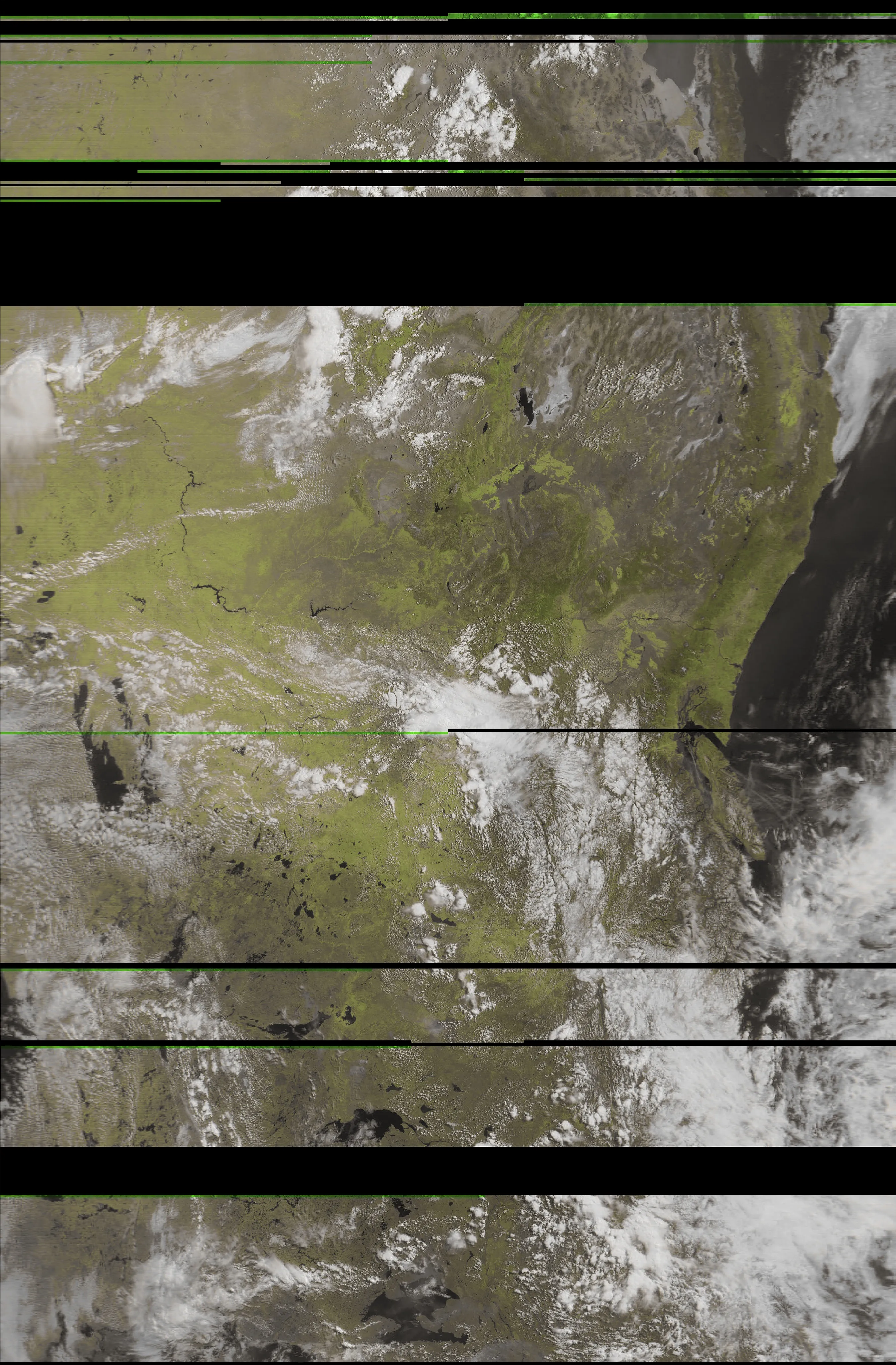 Using the “vegetation” filter from LRPTImageProcessor.
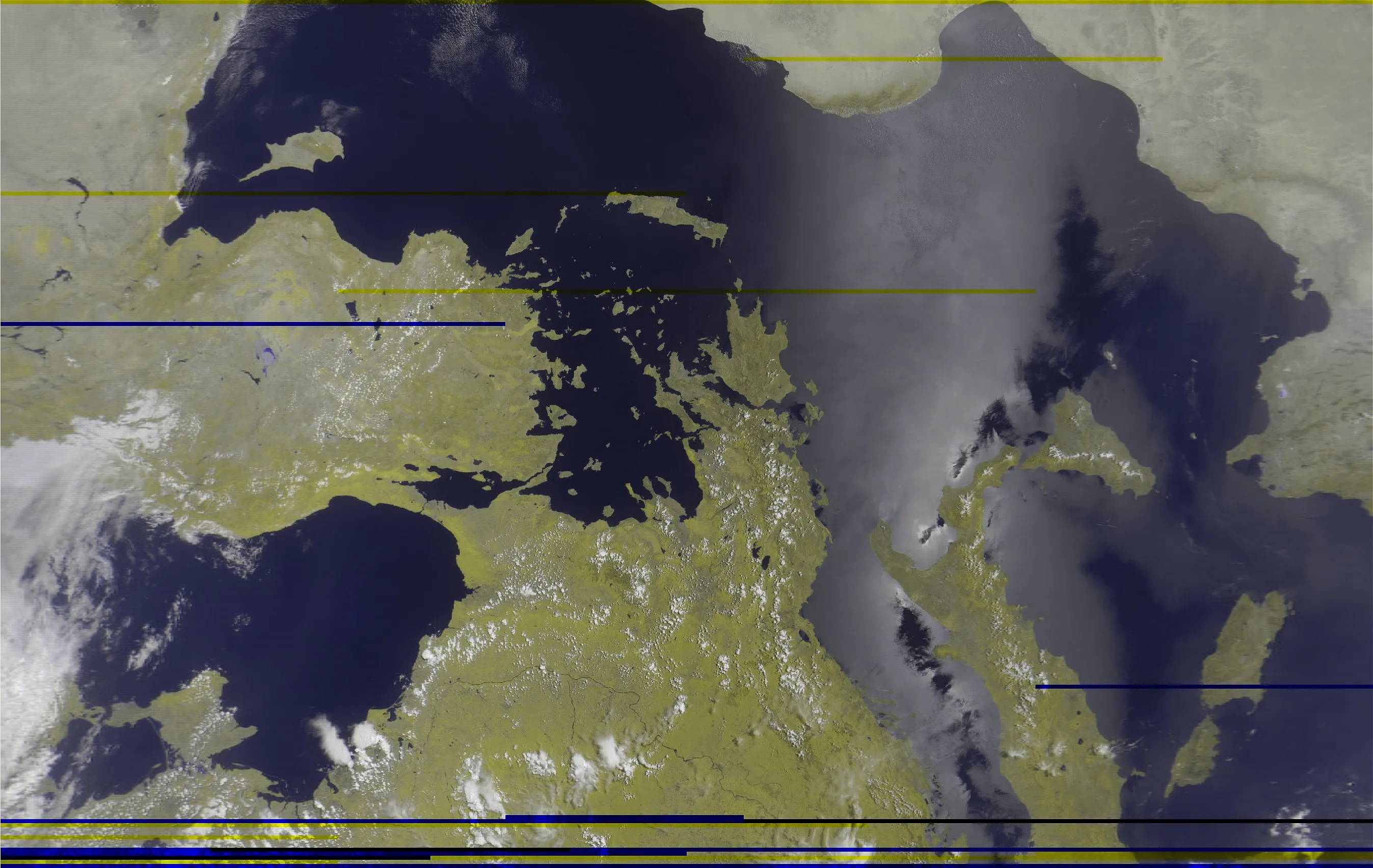 I didn’t capture this one. A user on Reddit asked for assistance with processing their file, and this is what I got.
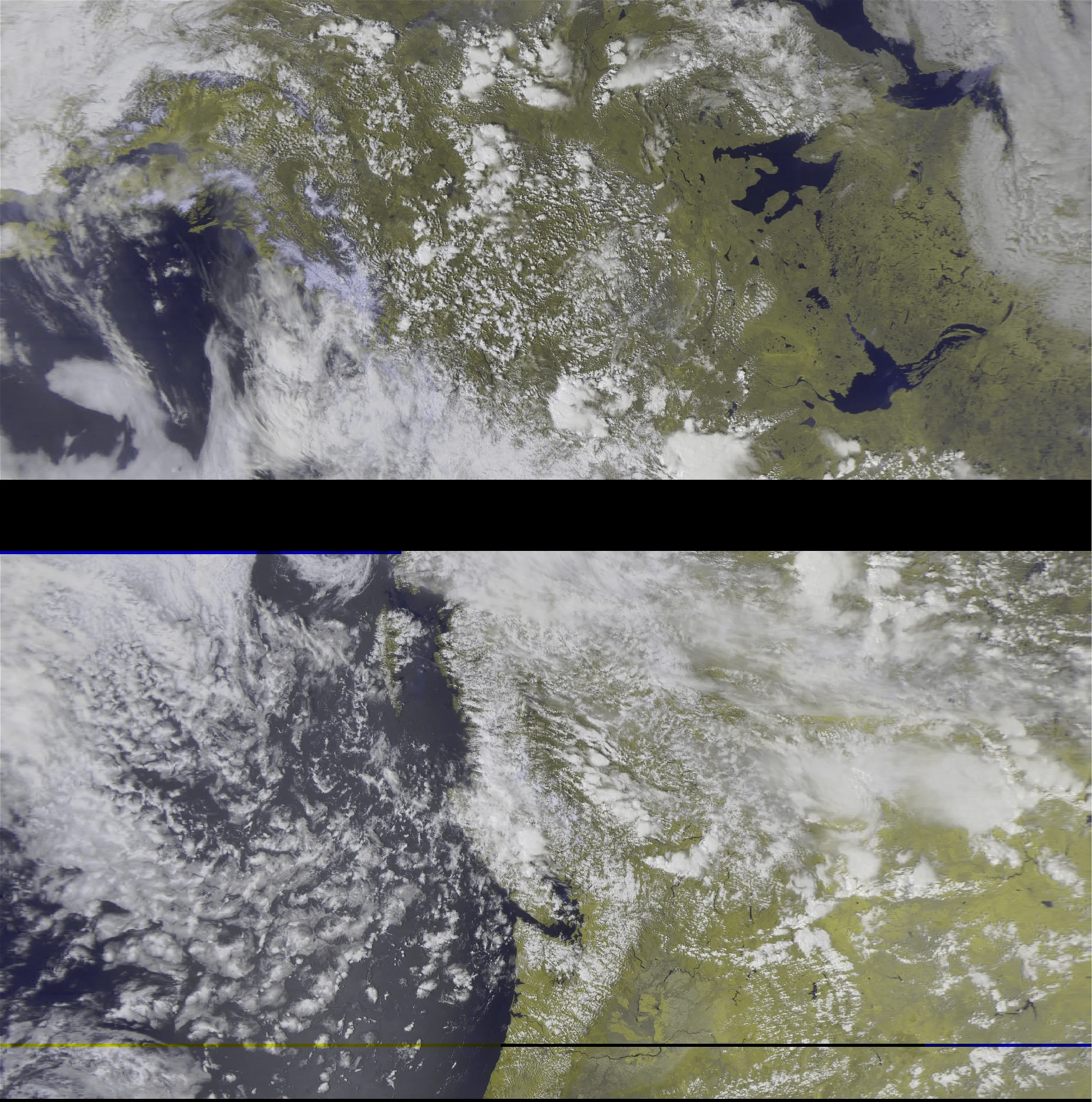
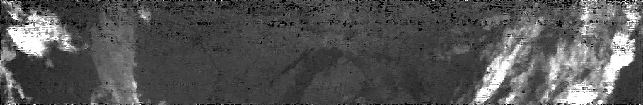
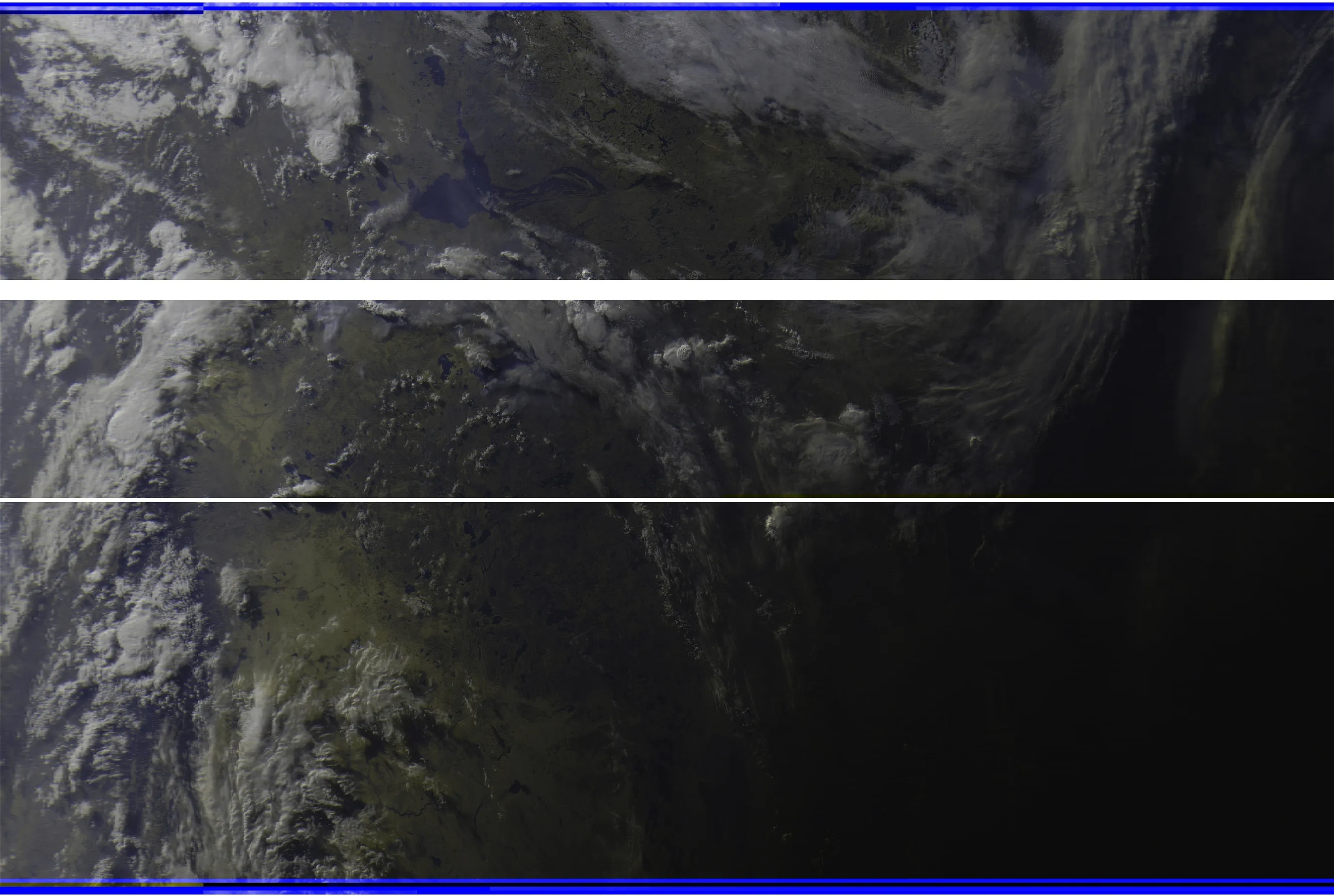 Meteor M2 around sunset.
 Meteor M2 over US East/Central area with IR filter applied
 NOAA 15 pass over US East/Central area
via my own SDRs
I found an excellent guide on Instructables by user haslettj that helped me setup my Raspberry Pi 2b to listen with my Nooelec SmarTee, and my V Dipole antenna from the RTL-SDR.com Blog v3 kit. Unfortunately, I could only use the Nooelec dongle since the v3 blocks too many USB ports, and I need a WiFi connect
 NOAA 8 pass over US Central area. Using Contrast B preset.
I ran the scheduler again. I replaced all the old .sh files that were messed up by me editing them in Windows over FTP, and everything ran perfectly. I had my V-Dipole on the ground next to the Pi, 120 degrees between each 21.5″ leg, with the center facing south. I caught about 400 seconds of low-noise images! If I can get a laptop to use, this will be so much better – Meteor images will become practical.
 NOAA 19 pass over US Central area, processed with Normal and Weather presets via WXtoIMG
 Normal and Weather. Terrain imagery may not be accurately generated for this pass. NOAA 19, very low noise!