Here are lots of pictures I’ve recorded with my SDR. Well, technically, any pictures in this post aren’t actually done with my SDR – I took them using the AirSpy Server Network. My favorite is the guy outside of Edmonton, Canada, however I believe I have some in here that came from Copenhagen and Cleveland receivers as well. Read the bottom before using these images elsewhere.
7-14-2019: East Coast of the USA 7-14-2019: Tropical Storm Barry 7-14-2019: Canada (Thunder Bay is on the right; is that the sun reflecting off of it?) 7-15-2019: West Coast of the USA, ft. Alaska (and more solar reflections off of the water?) 7-15-2019: More Canada. Not every pass is perfect!7-16-2019: Another precipitation map over Alaska / Canada 7-16-2019: A precipitation map of the East Coast. Lots of noise, but I guess I prefer that to the totally blank lines LRPT leaves. 7-16-2019: North-Central USA with lots of Canada. Not really sure if I like the fake map overlay from WXtoIMG sometimes. 7-17-2019: BW photo (unprocessed) of the same area as the last picture. Much longer area of usability this time.
7-17-2019: I guess WXtoIMG didn’t know where to place these – and neither do I.
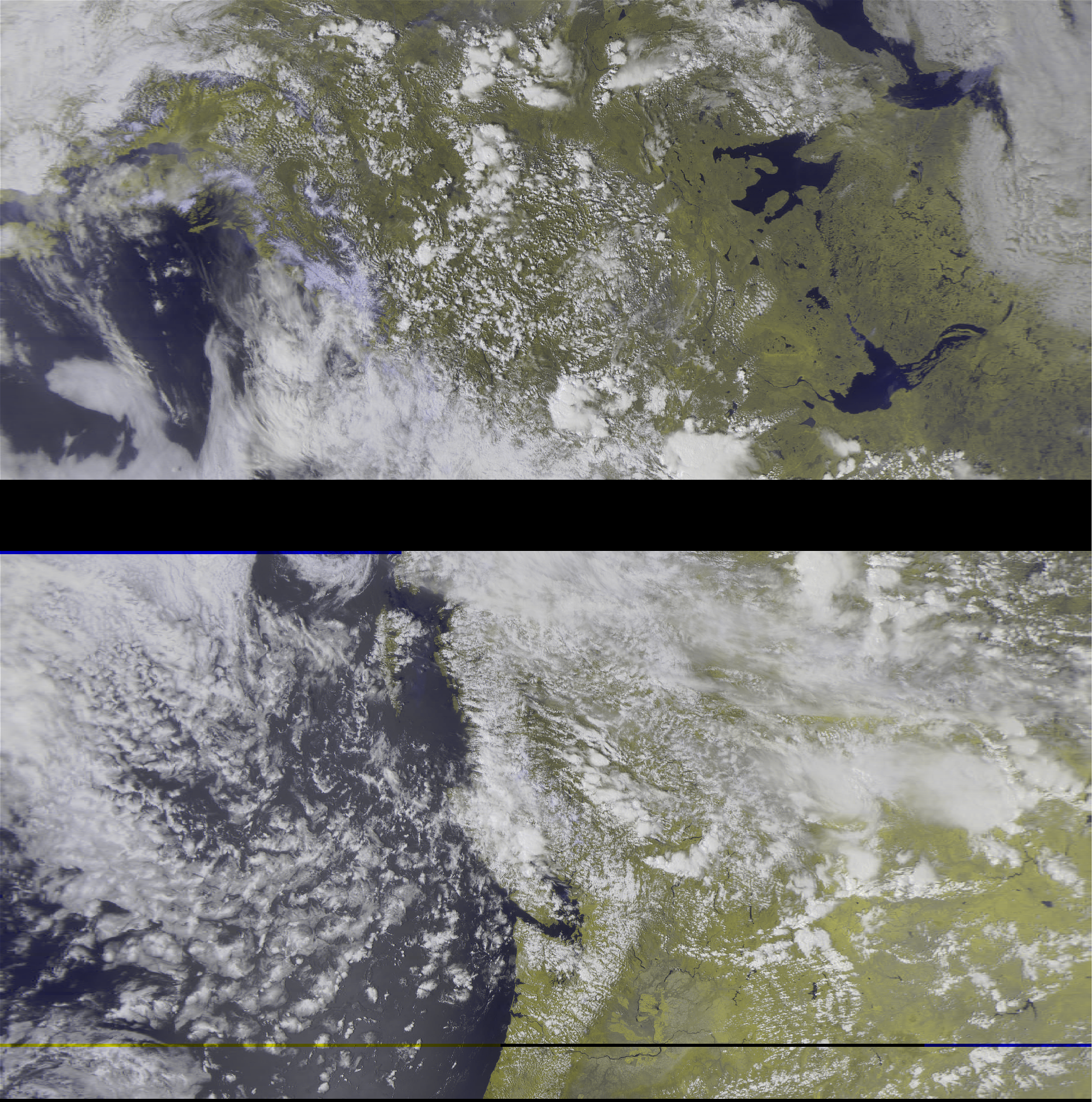
7-17-2019: Northeastern US + lots of Canada. Very nice picture overall! 7-18-2019: More of Alaska / Canada. Pretty weak, but it serves as a reminder that no one (and no setup) is perfect. 7-18-2019: Northeast USA. Not that great, but probably my first from the receiver in Cleveland!
We’re going digital! My first Meteor RX is on this day!
7-18-2019: Boy, these files just get bigger! Meteor M2.7-19-2019: I only had time to get one image today, and this is it. Lots of bad signal time, but still very nice overall. FIRST SIGNAL I GOT FROM THE NEW M2-2!! 7-20-2019: This was around 10PM CDT, so in Edmonton the sun was a bit past going down… that’s why it is a bit dark. This version doesn’t use the IR sensor also. Meteor M2.
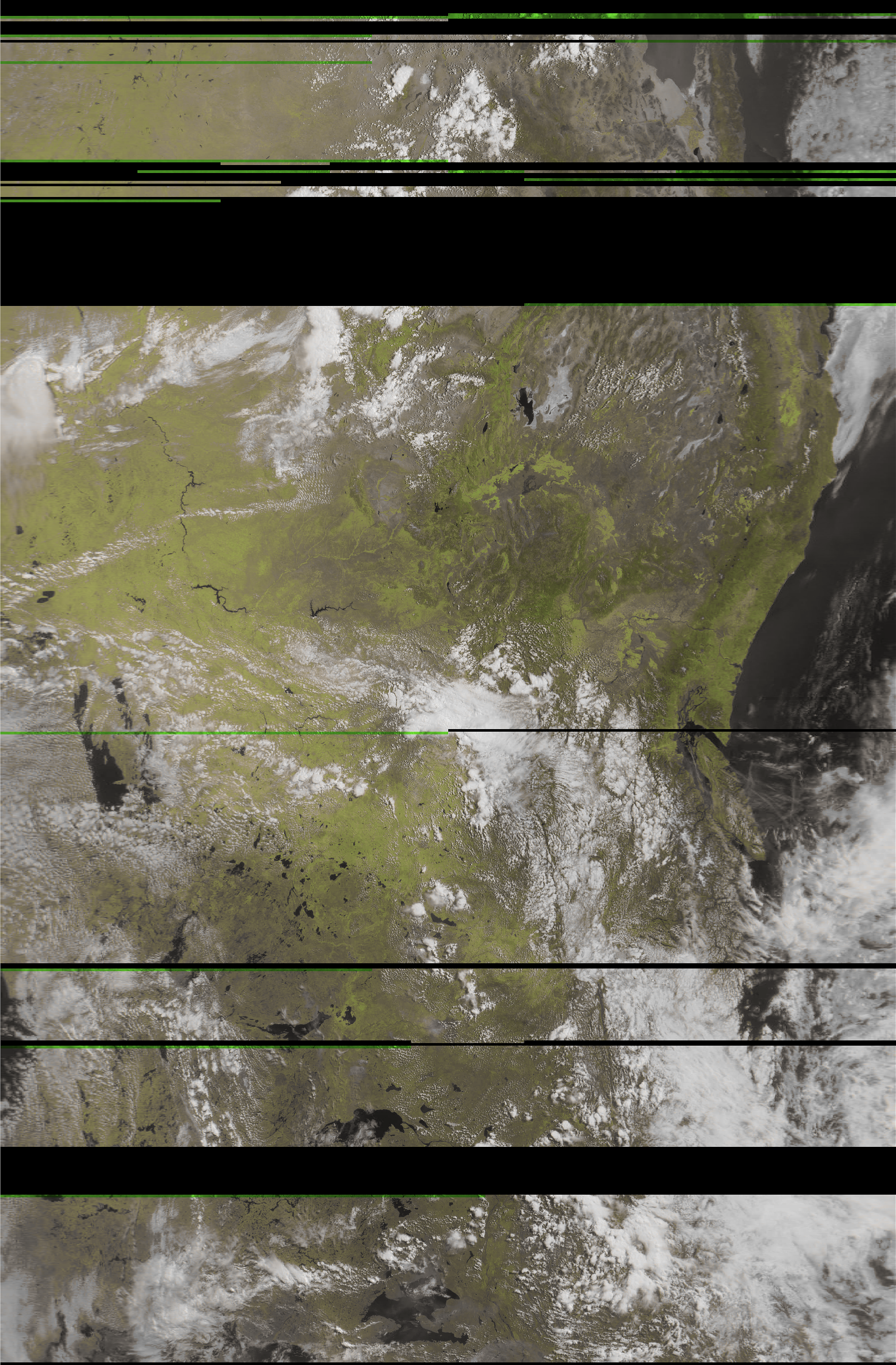
“Vegetation” filter from LRPTImageProcessor. Same sat/pass as the other one in this gallery.
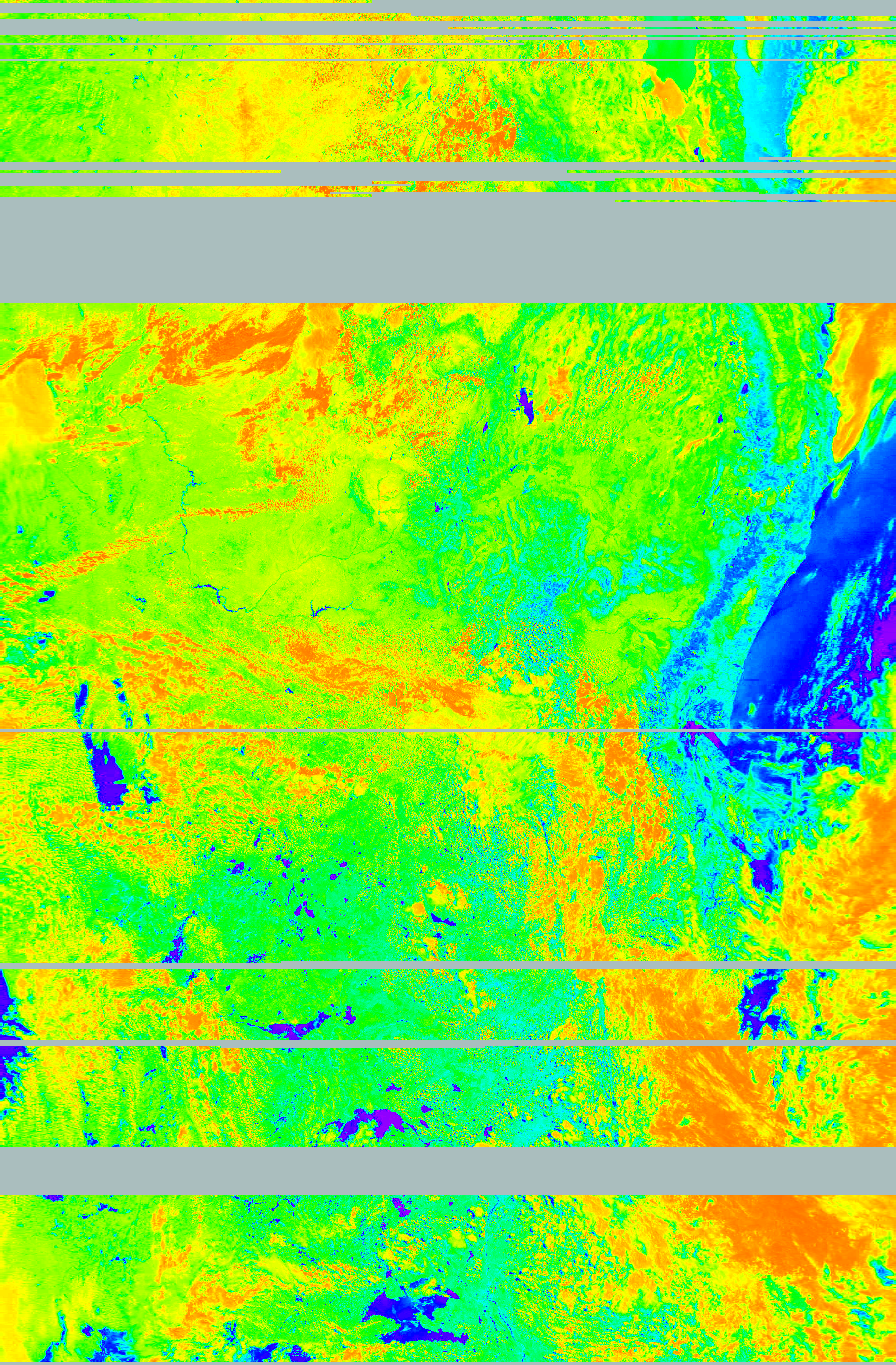
7-21-2019: Woah, that didn’t go too well! I don’t think I had a strong internet connection to the Canadian receiver – when I was listening (before AOS), it seemed to cut in and out a lot. Yeah, the decoder doesn’t like that :/
I’ll try to keep posting my better images as I go on. This is a massive dump as far as I’m concerned, and I’ll try to split up my posts a bit more now that I’m caught up. Enjoy, and remember: I received these images. Even though they are “courtesy of NOAA”, the time I’ve put into obtaining the signals, and the processing I’ve done to get them means I should at least be given credit if you want to post these elsewhere. You can also email me to let me know, even if you aren’t really asking for permission: [email protected]